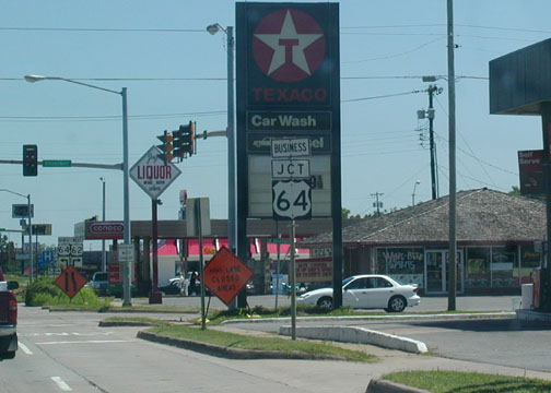
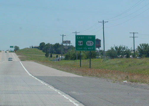
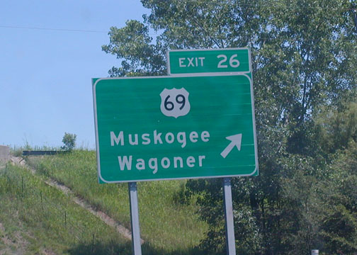
 This
is the exit to US 69 from the Muskogee Turnpike EB. The turnpike comes
in from Tulsa and then bypasses the city of Muskogee to the east after about
30 miles. Okay, I lied: this and the following two pictures are in
Wagoner County.
This
is the exit to US 69 from the Muskogee Turnpike EB. The turnpike comes
in from Tulsa and then bypasses the city of Muskogee to the east after about
30 miles. Okay, I lied: this and the following two pictures are in
Wagoner County.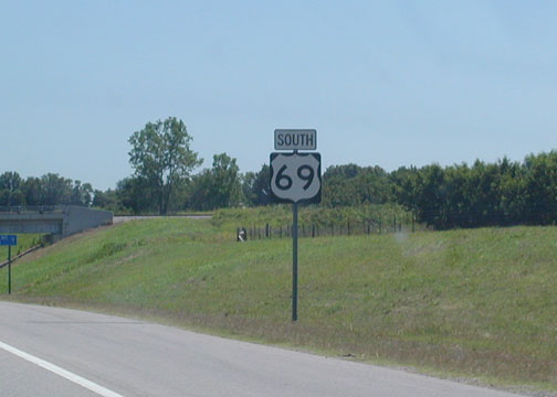 North
of Muskogee still, on US 69 South. Route 69 is a very truck-heavy
expressway (with a speed limit of 65 mph) from I-44 in Big Cabin all the way
to the Texas line.
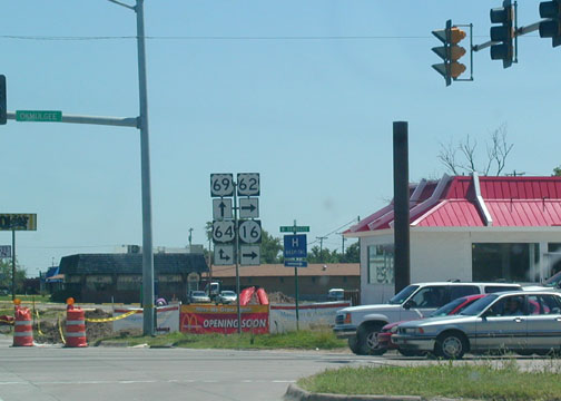
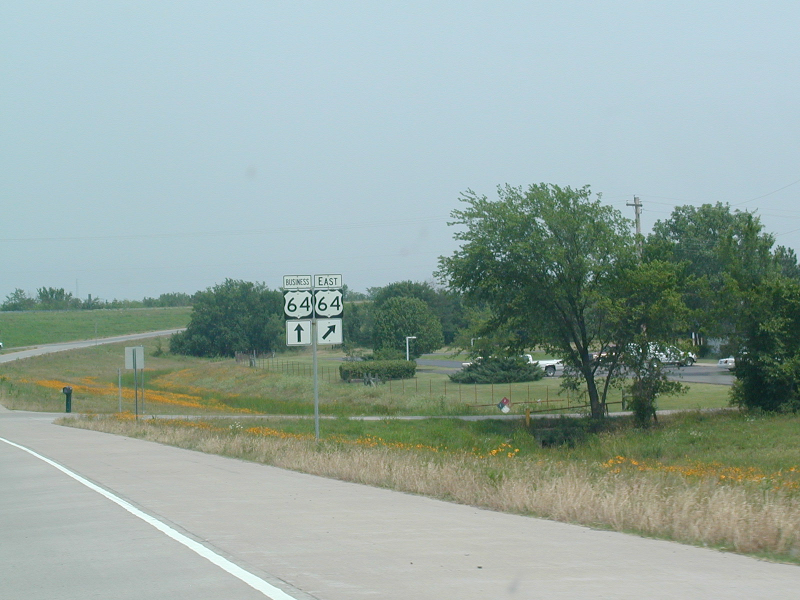
North
of Muskogee still, on US 69 South. Route 69 is a very truck-heavy
expressway (with a speed limit of 65 mph) from I-44 in Big Cabin all the way
to the Texas line. 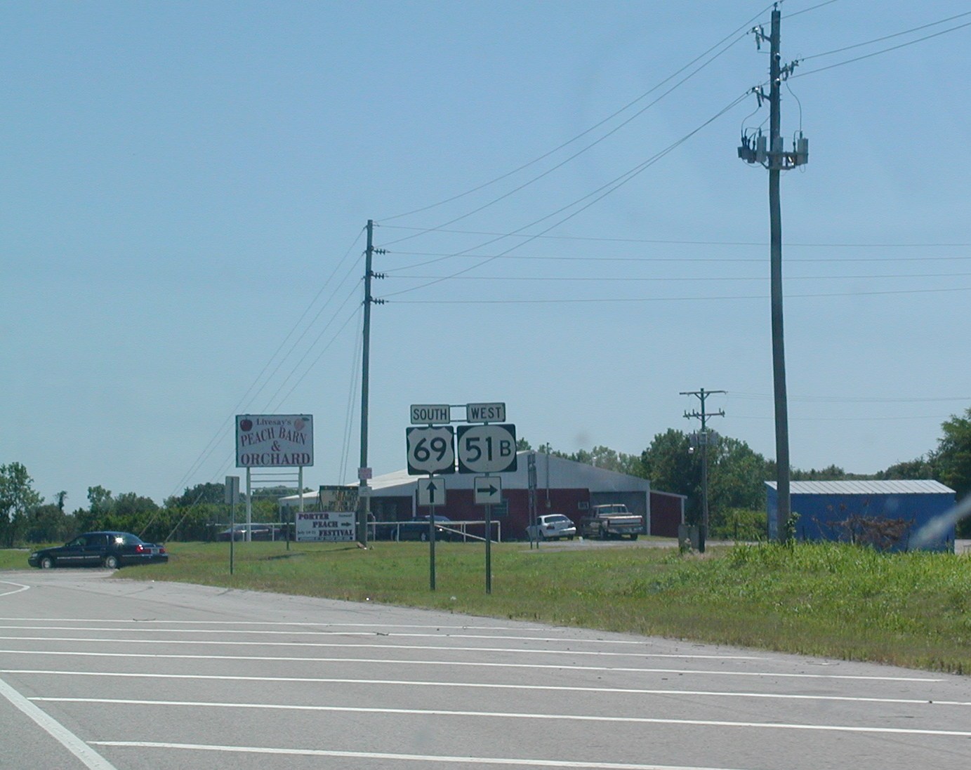 Just
south of the turnpike, OK 51B ends at US 69. OK 51B parallels the
turnpike as it goes past Porter and on to Coweta and catches up with regular
ole OK 51 there.
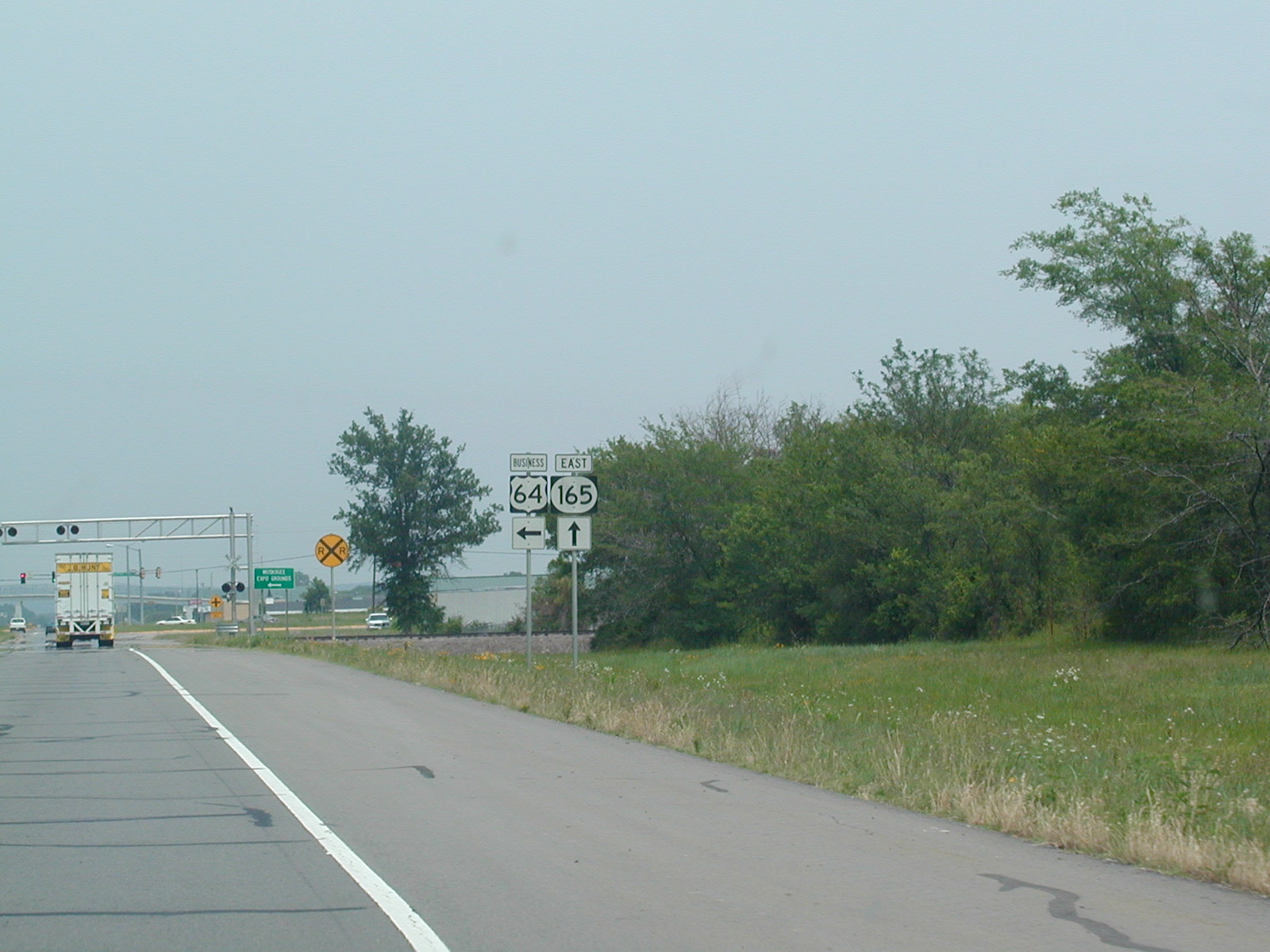
Just
south of the turnpike, OK 51B ends at US 69. OK 51B parallels the
turnpike as it goes past Porter and on to Coweta and catches up with regular
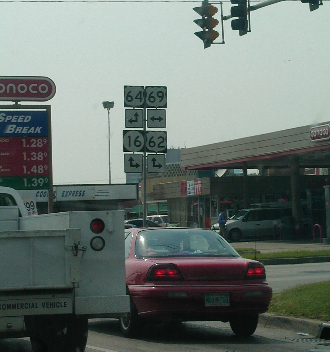
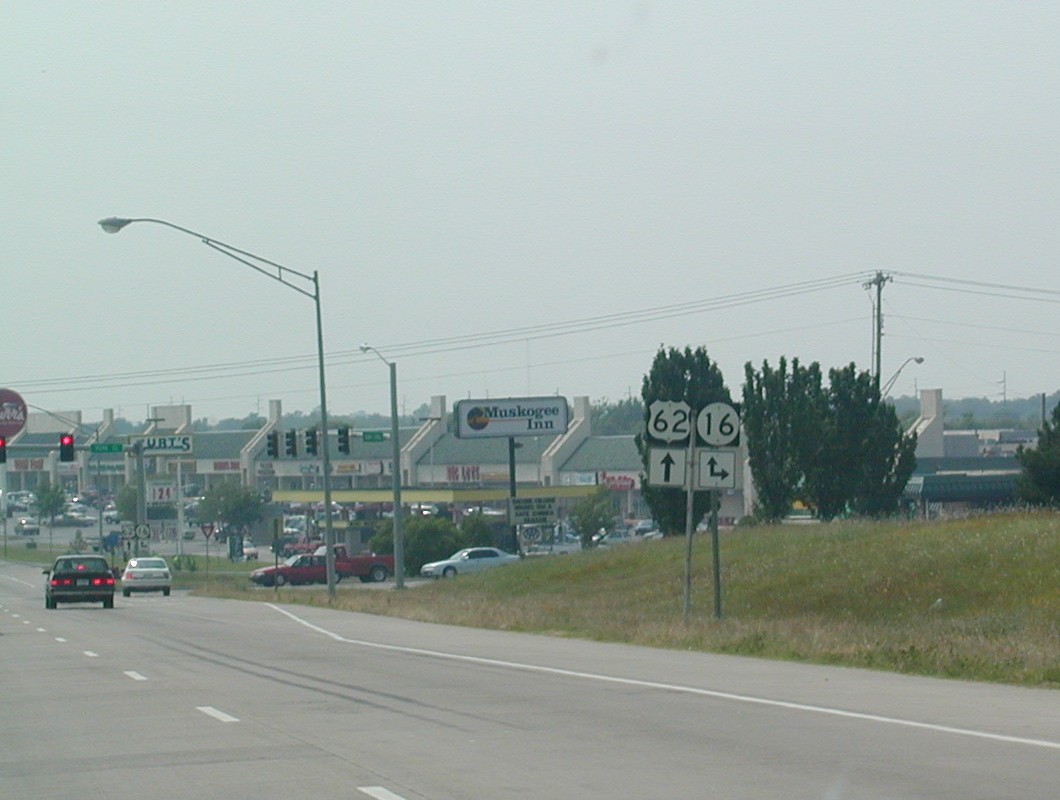
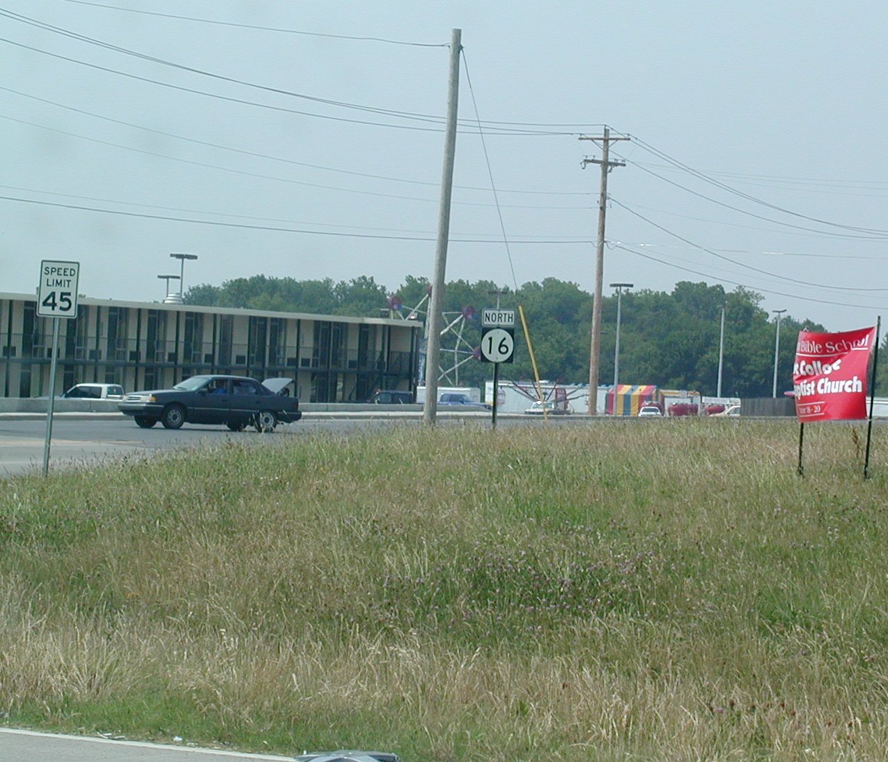
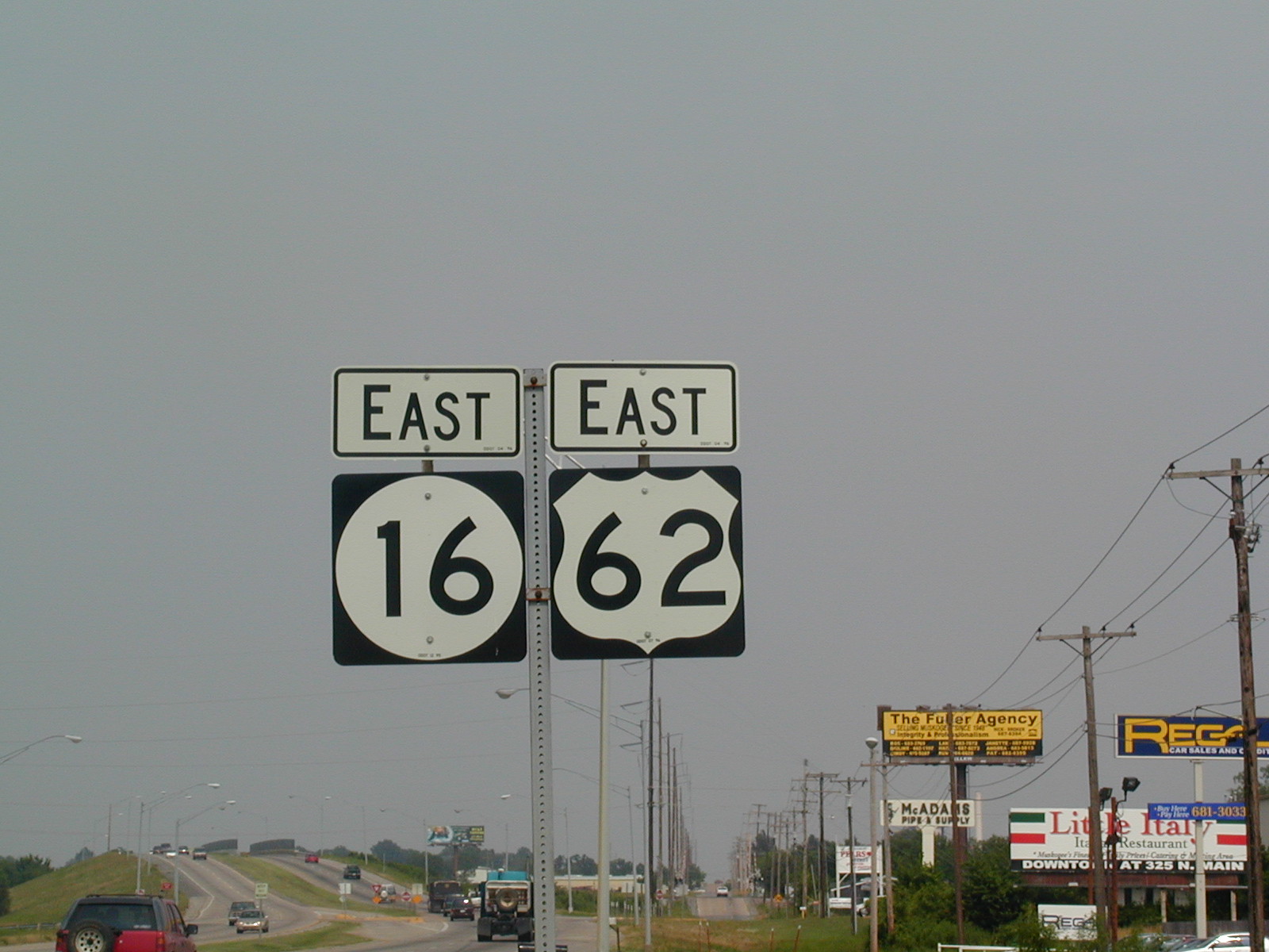
ole OK 51 there. 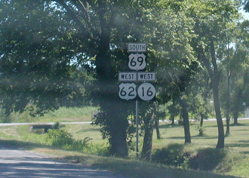 Now
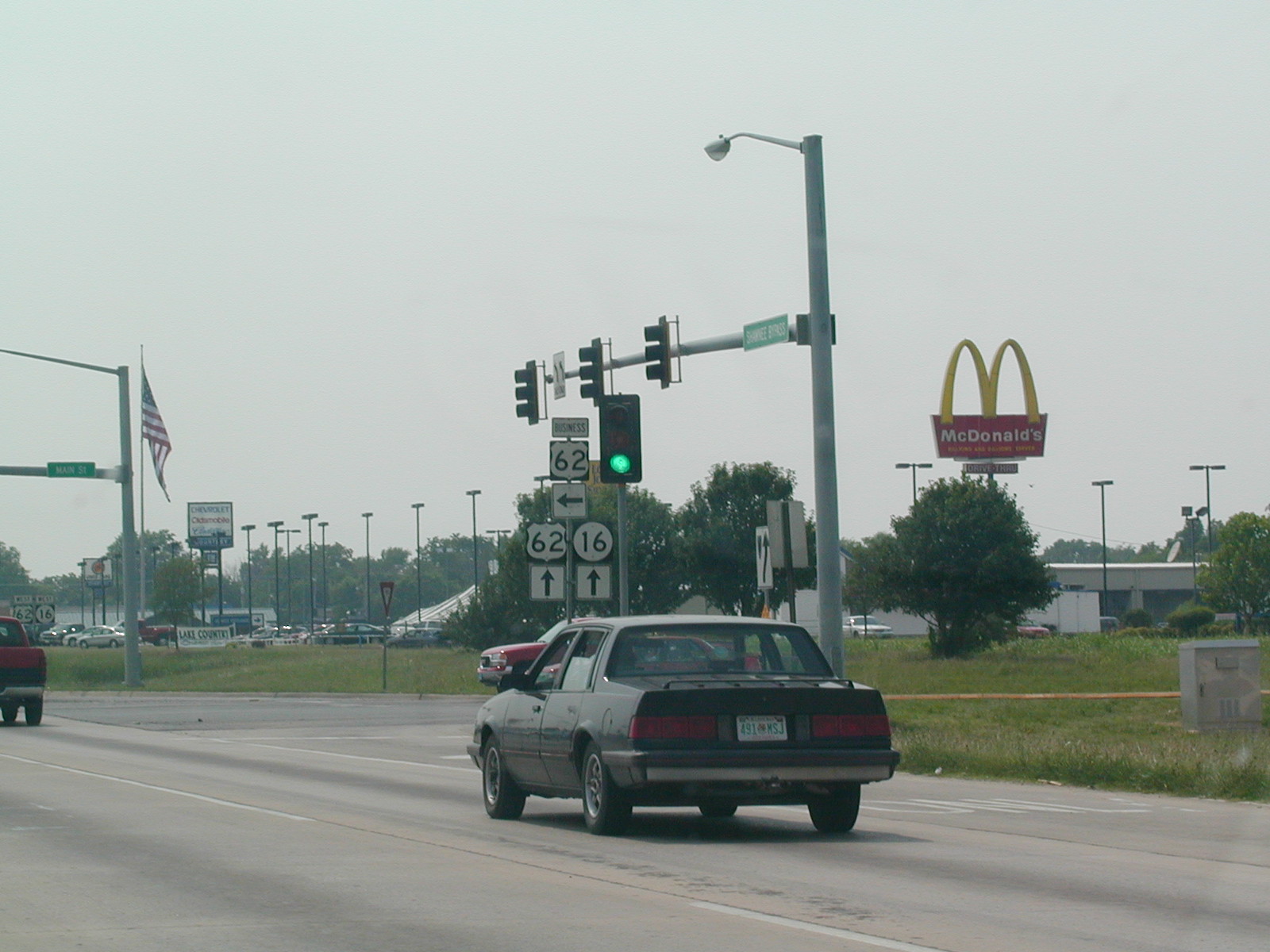
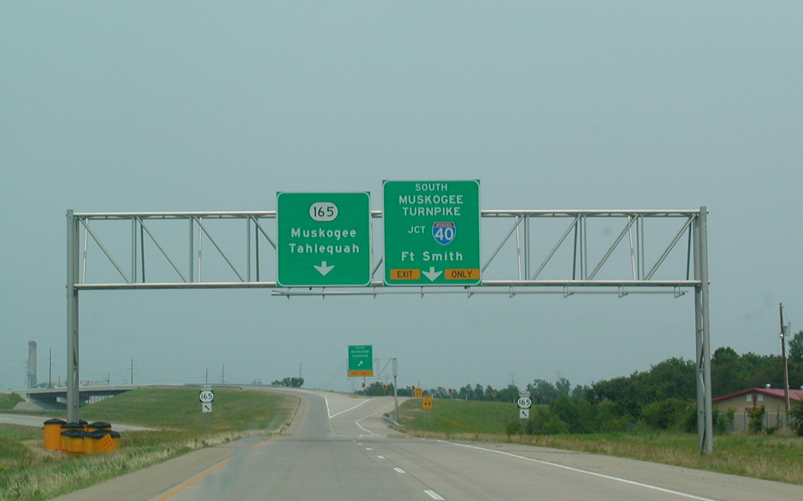
we're in Muskogee, in the northern reaches, where we pick up US 62 and OK
16.
Now
we're in Muskogee, in the northern reaches, where we pick up US 62 and OK
16.