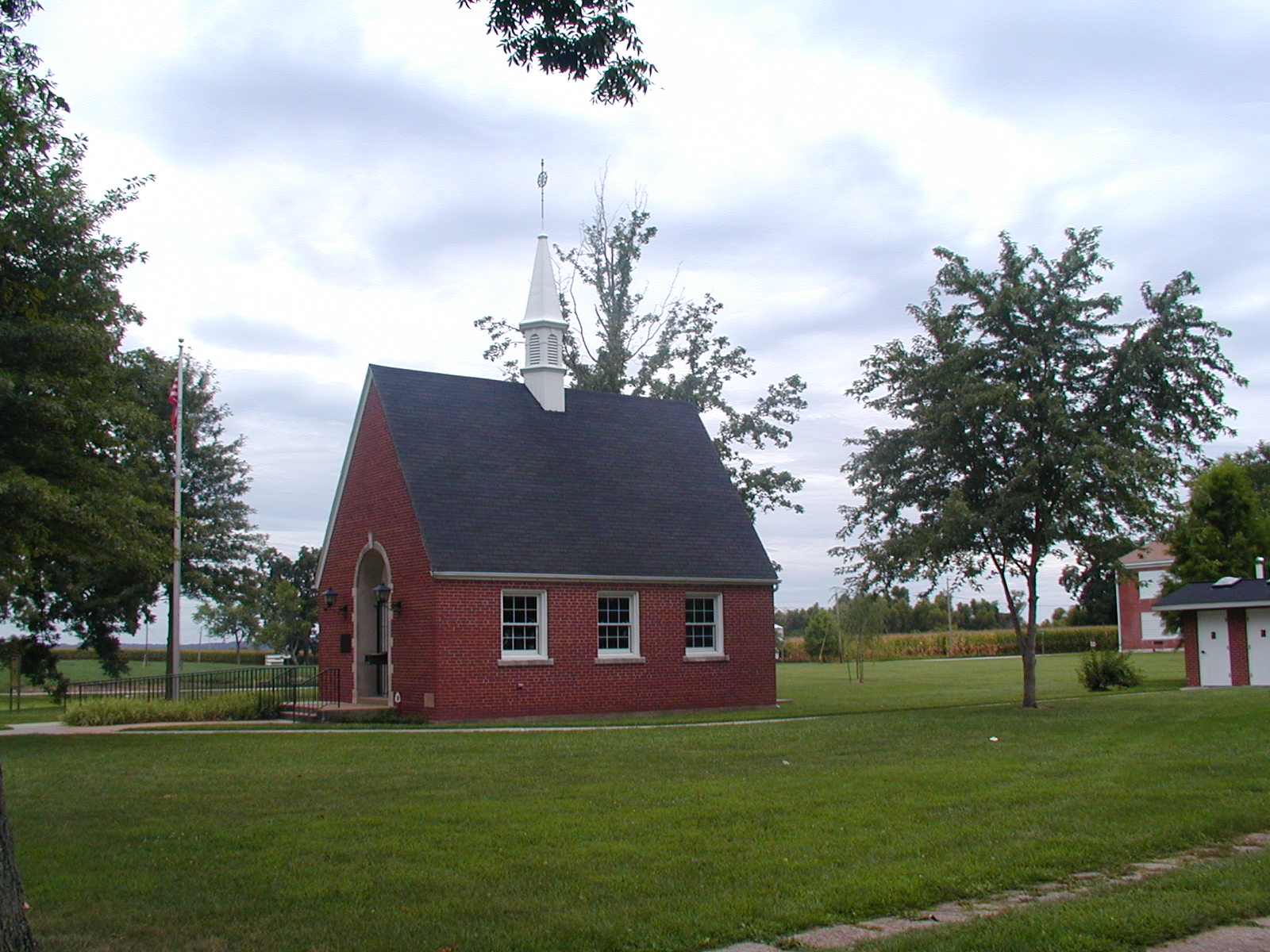
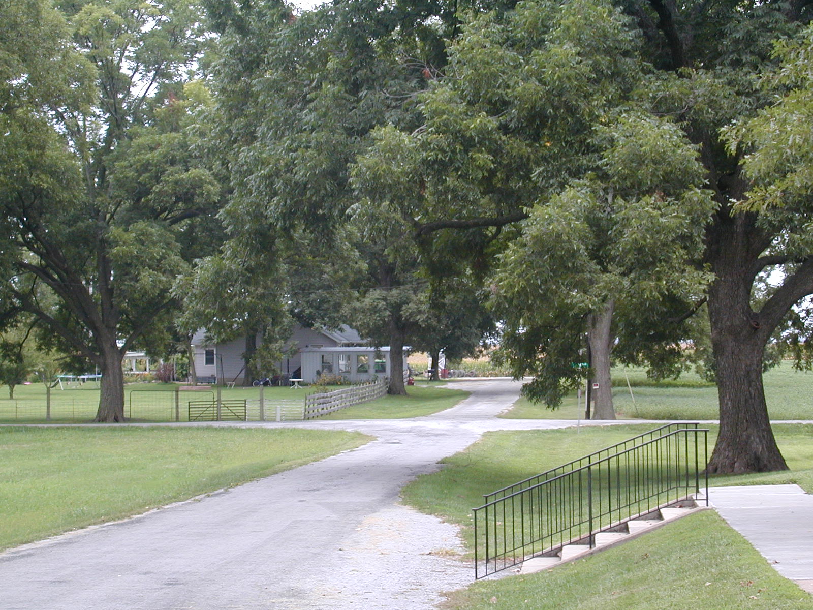
 The
first stop of the day was at Illinois Caverns, which you really had to look
for to find. This is the entrance to the cave. I went down and
was so black I couldn't see 5 feet in front of me. So I went back to
the office and found that I needed gear and four people in a group to go
down. So much for that idea-- there was no one in sight. So sad.
The
first stop of the day was at Illinois Caverns, which you really had to look
for to find. This is the entrance to the cave. I went down and
was so black I couldn't see 5 feet in front of me. So I went back to
the office and found that I needed gear and four people in a group to go
down. So much for that idea-- there was no one in sight. So sad. Down
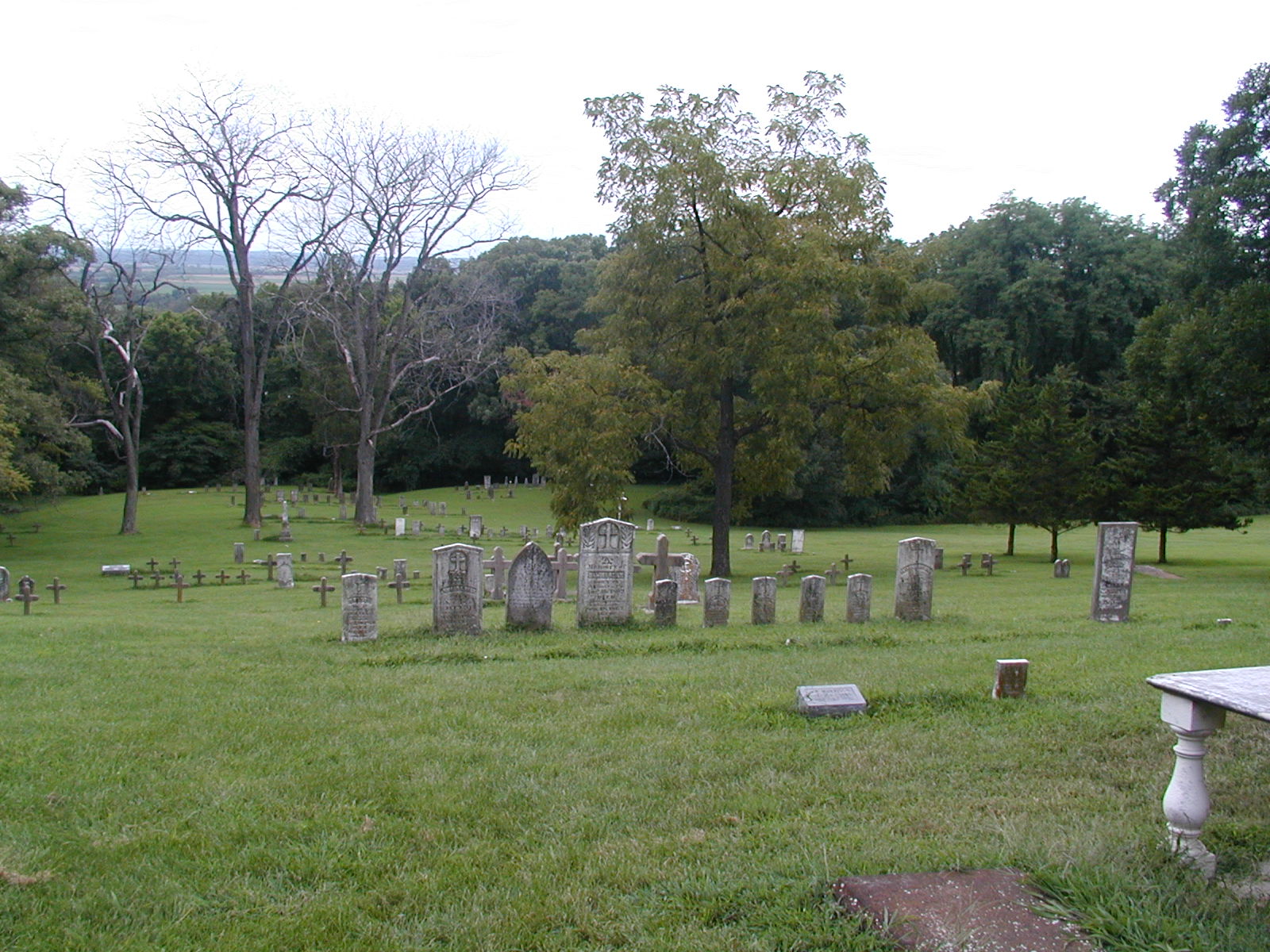
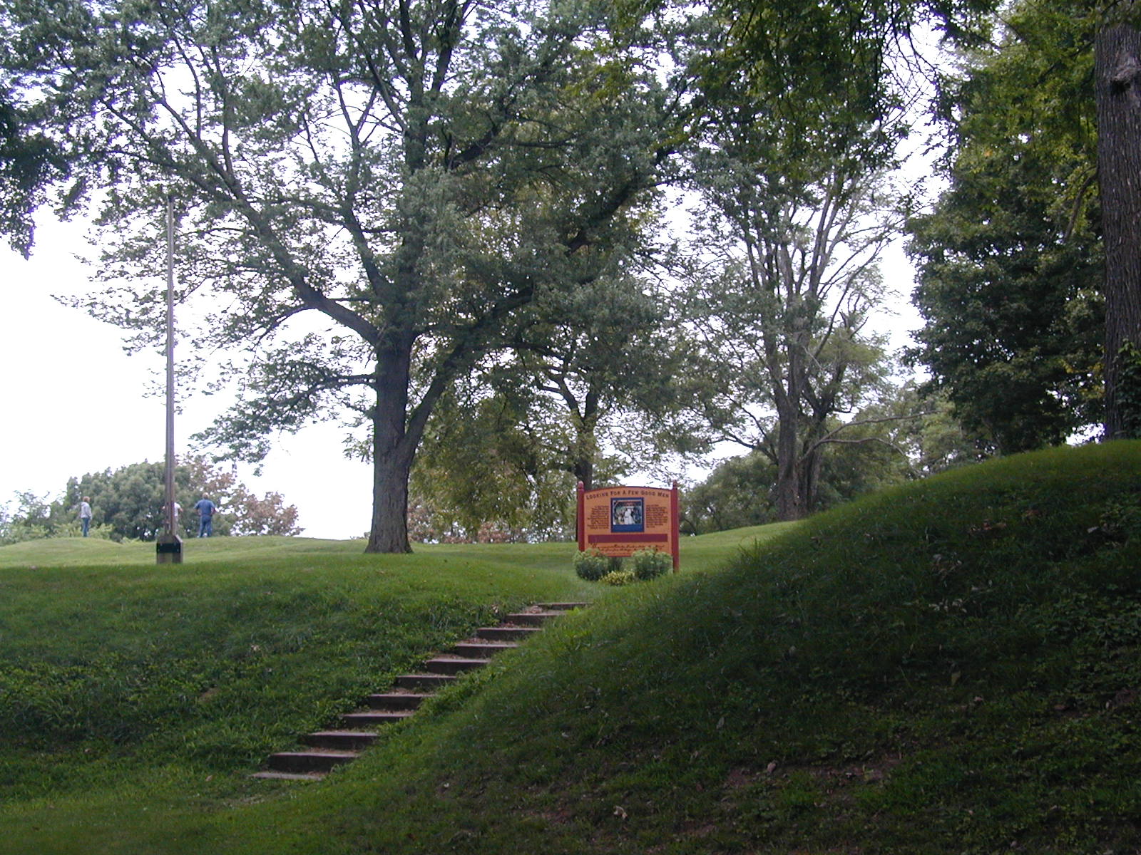
the steps into the abyss of the cave. This cave is one of at least 100
in Monroe County. That's pretty cool. But it is the only one
that is open to the public.
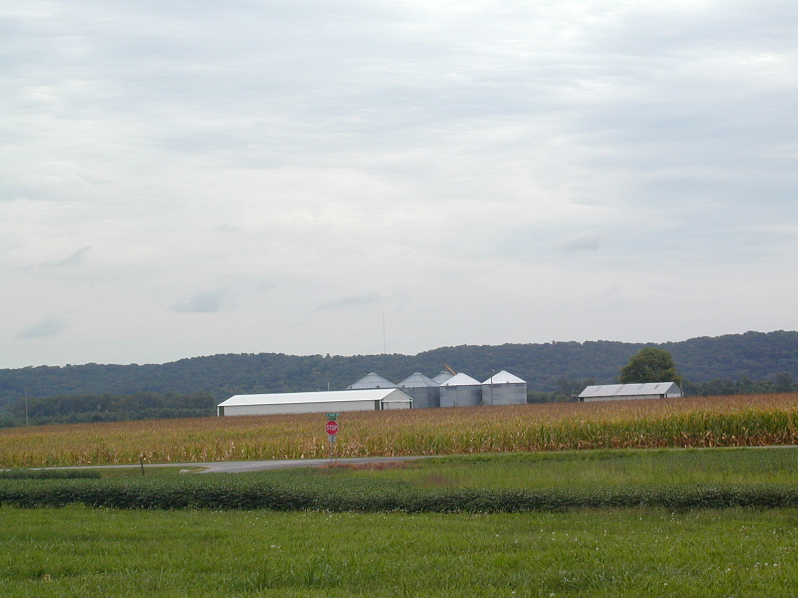
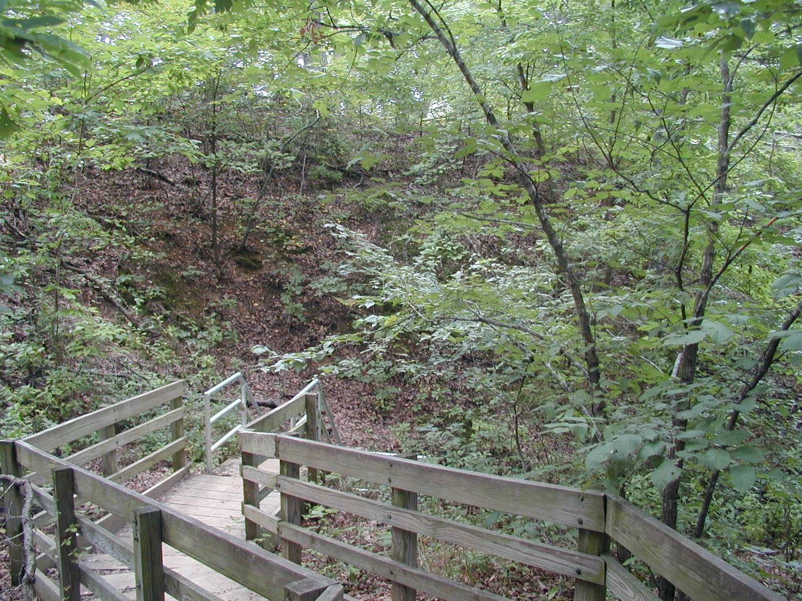
Down
the steps into the abyss of the cave. This cave is one of at least 100
in Monroe County. That's pretty cool. But it is the only one
that is open to the public.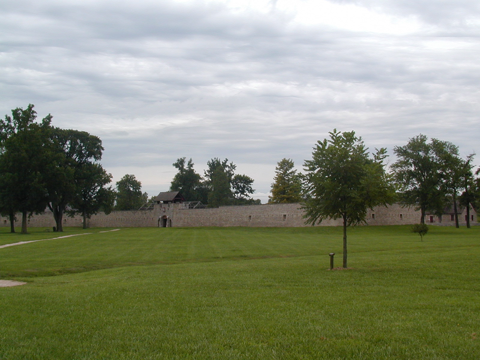 A
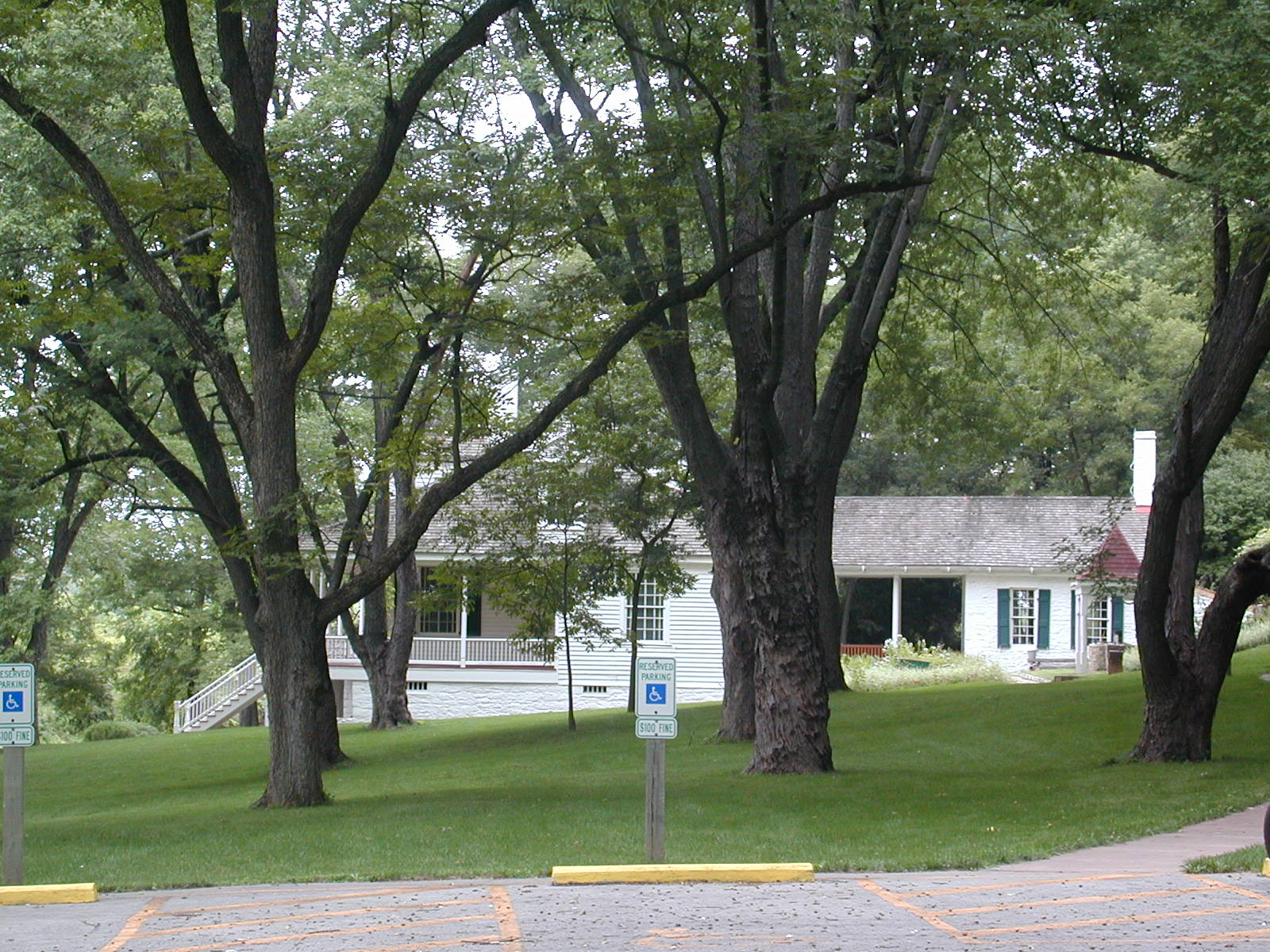
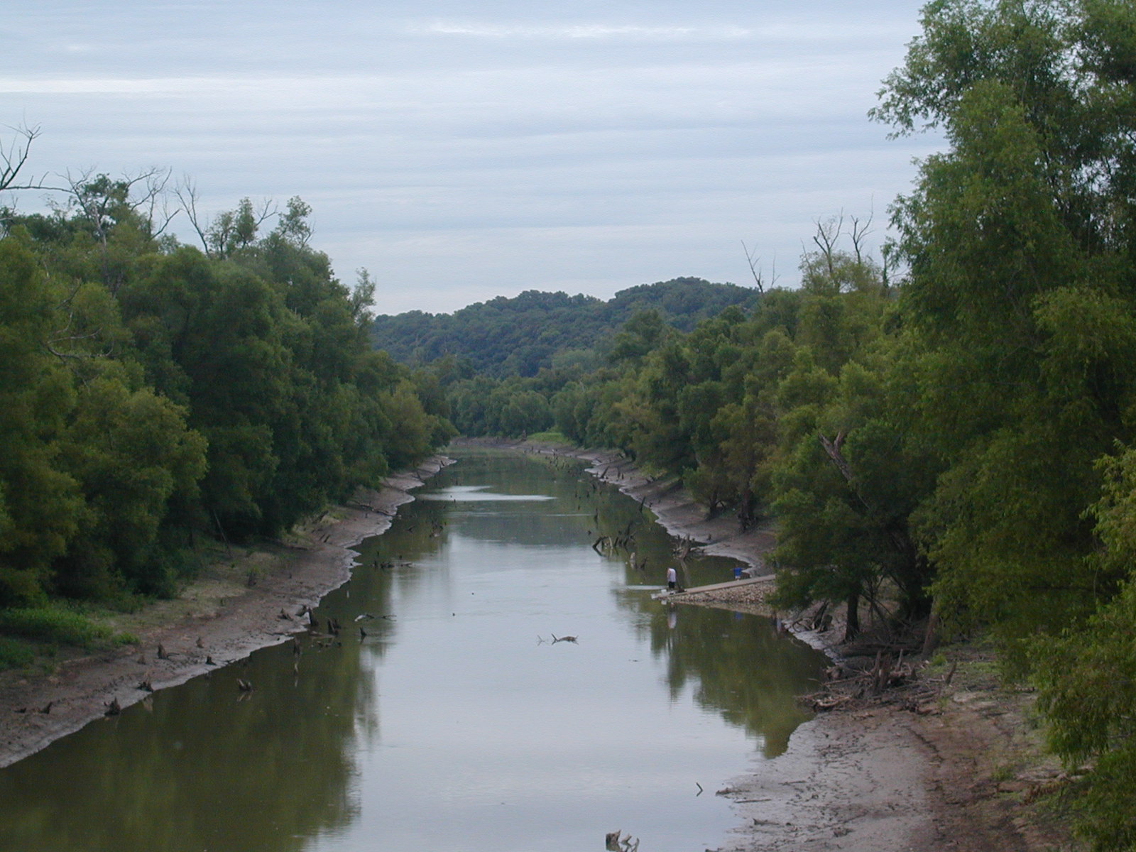
little further down the Mississippi is Ft. de Chartres, which the French,
British, and American forces occupied in the late 1700s. It was built
in the 1750s.
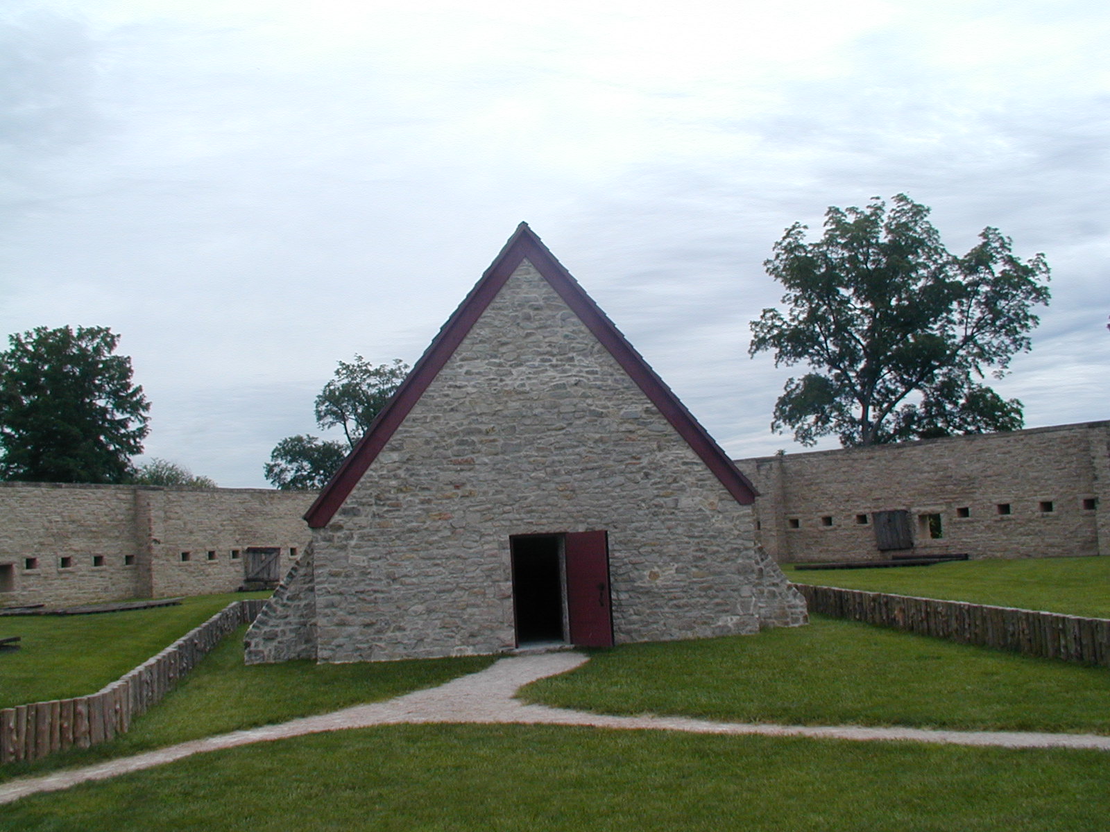
A
little further down the Mississippi is Ft. de Chartres, which the French,
British, and American forces occupied in the late 1700s. It was built
in the 1750s.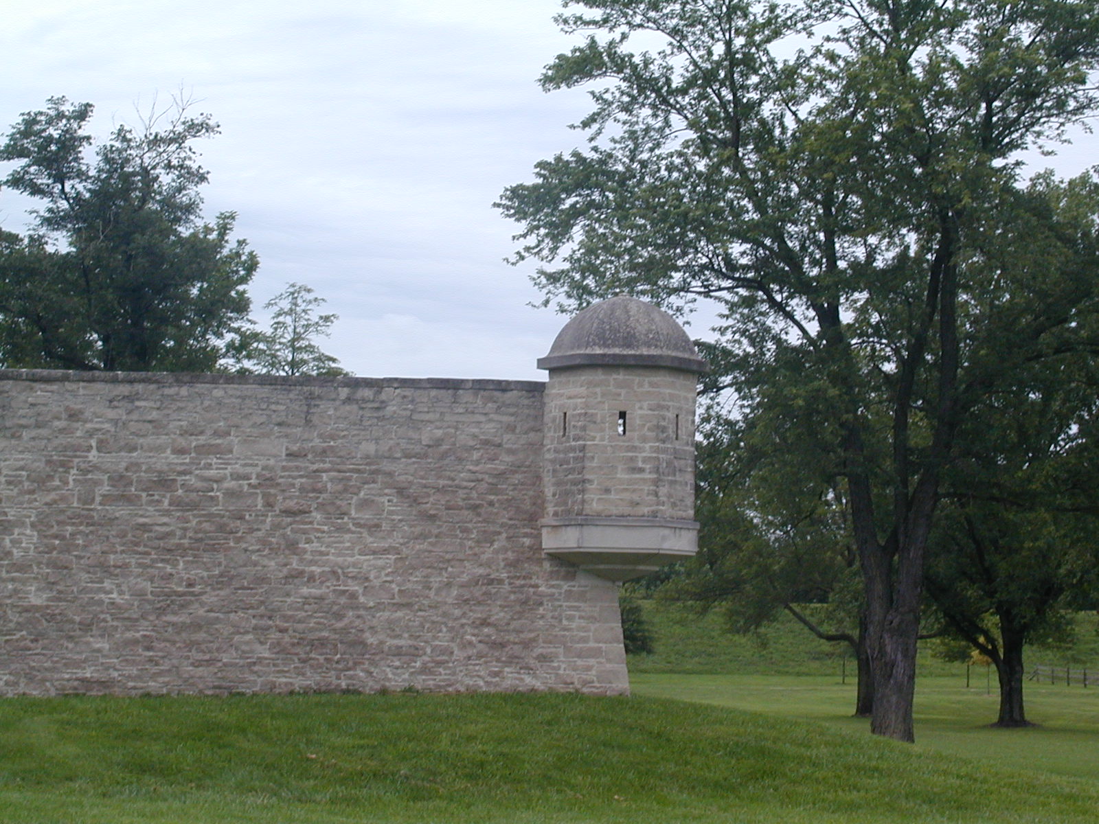 The
whole fort is a reconstruction. This is a lookout "tower."
The
whole fort is a reconstruction. This is a lookout "tower."